
TERRAINK: THE CARTOGRAPHIC POSTER ENGINE
All credit to @hiro@social.lol for finding this one. I found out about it because I’m a subscriber to his amazing weekly email filled with goodies. You can subscribe here:
Really, just click the link and go subscribe 🤠
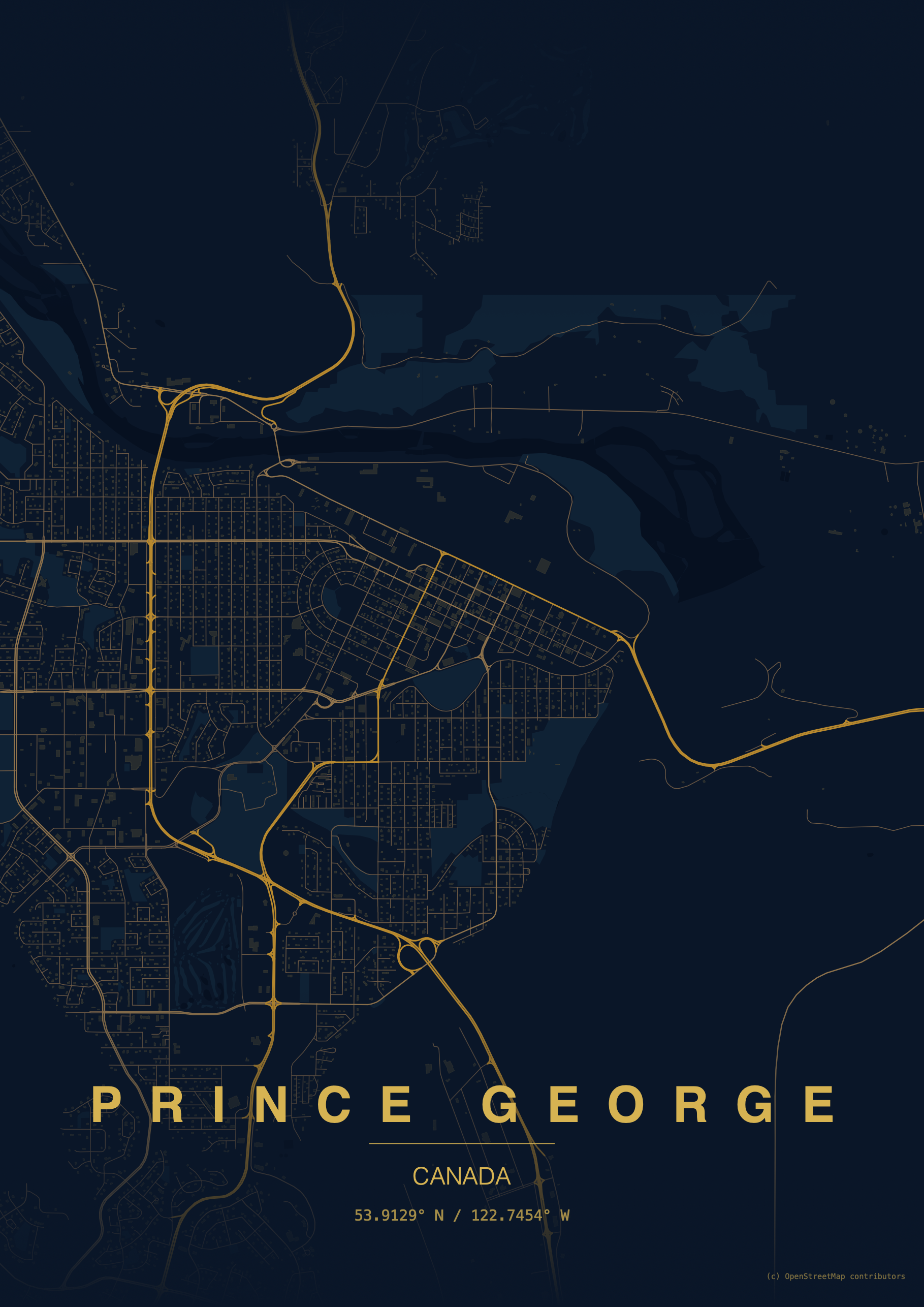
This is really fun to play with. Build high-detail map posters from OpenStreetMap data with curated palettes, custom typography, and print-ready PNG output.
Here’s where I took my first steps on planet Earth:
I'd love to hear your thoughts or suggestions! Please share your comments below: